What We Do
Geospatial Solutions for Smart Governance
SGT Solutions provides cutting-edge GIS, remote sensing, and spatial analytics services to government agencies, urban planners, and environmental managers. Our solutions transform raw geospatial data into actionable intelligence for better decision-making.
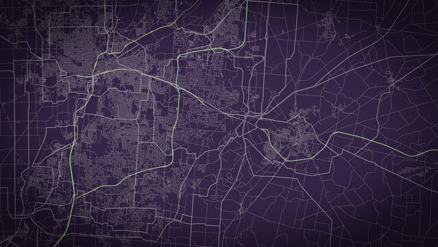
Web GIS & Smart Dashboards
Interactive spatial intelligence platforms with real-time data visualization, thematic mapping, and role-based access for decision support.
GeoProperty Mapping
GIS-based property tax mapping with parcel-level accuracy, ownership data integration, and ULB revenue system compatibility.

AI/ML Integration
Smart algorithms for automated feature extraction, land classification, anomaly detection, and predictive spatial modeling.
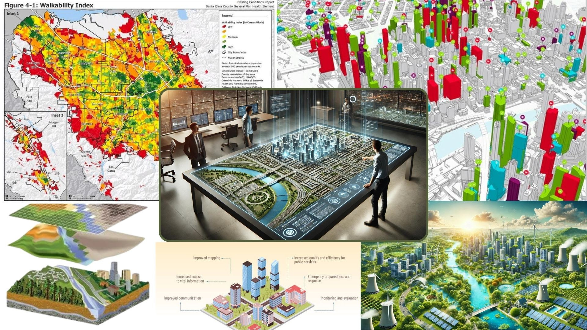
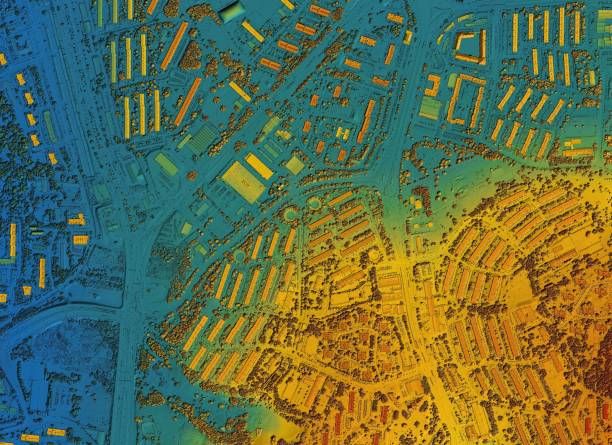
Land Use Planning
Data-driven spatial planning with LULC mapping, zoning analysis, and growth simulation for sustainable development.

Groundwater Modeling
Aquifer mapping, recharge studies, and predictive models for sustainable groundwater management.
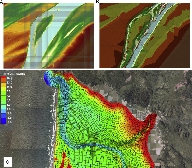
Surface Water Modeling
Watershed analysis, floodplain mapping, and hydrological simulations for water resource planning.

Field Survey & Data Collection
GPS-enabled mobile surveys for accurate spatial data capture with real-time validation and GIS integration.