Data-Driven Land Use Planning & Zoning Solutions
Our comprehensive land use planning services empower urban development authorities, municipal corporations, and regional planners with GIS-based tools for sustainable spatial planning. We integrate environmental, demographic, and infrastructure data to create evidence-based land use plans that balance growth with conservation.
Multi-Layer Analysis
Overlay environmental, social and infrastructure factorsScenario Modeling
Test development alternatives before implementationCore Services
Land Use/Land Cover Mapping
Detailed classification using satellite imagery and ground verification
Zoning Analysis
Development suitability modeling based on multiple constraints
Urban Growth Simulation
Predictive modeling of expansion patterns and infrastructure needs
Visual Impact Assessment
3D modeling of proposed developments in landscape context
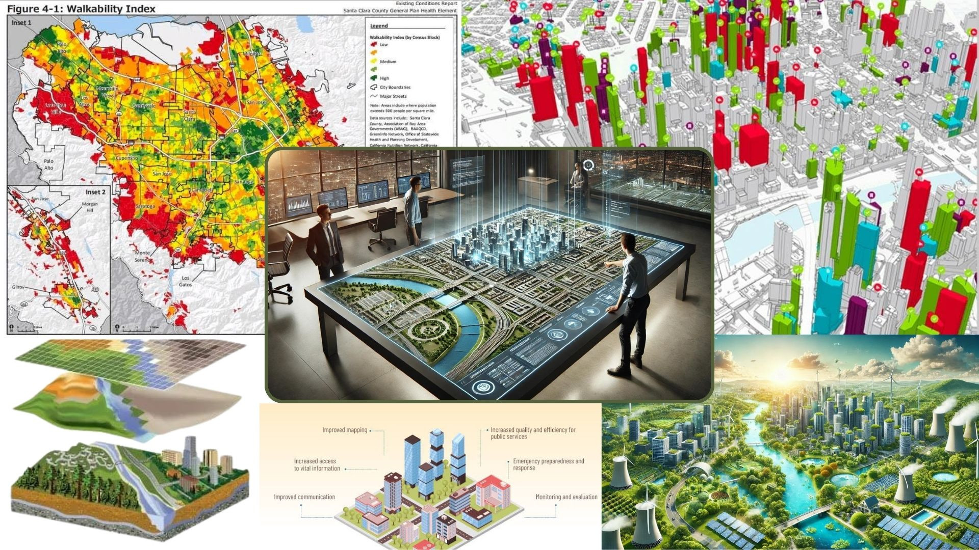
Planning Process
Existing Conditions Analysis
Comprehensive mapping of current land use, infrastructure, and environmental features
Multi-Criteria Evaluation
GIS-based analysis of development potential considering ecological, social and technical factors
Alternative Futures
Creation of different growth scenarios with varying densities and patterns
Consequence Evaluation
Analysis of infrastructure demands, environmental effects, and fiscal impacts
Regulatory Framework
Development of zoning maps, ordinances, and implementation tools
Technical Approach
Data Layers Integrated
- Topography & Slope
- Soil & Geology
- Flood Zones
- Transportation Networks
- Utility Infrastructure
- Protected Areas
Analytical Methods
- Weighted Overlay Analysis
- Least-Cost Path Modeling
- Cellular Automata Simulation
- Viewshed Analysis
Deliverables
- Land Use Plans (Digital & Printable)
- Zoning Atlas with Regulations
- Interactive Planning Portal
- Technical Reports
Compliance Standards
Aligns with URDPFI guidelines, state planning standards, and smart city frameworks
Planning Assessment
Evaluate your current land use patterns and planning needs.
Request Site Analysis