SGT Solutions
Interactive Web GIS & Smart Dashboards
Empowering governments and planners with real-time geospatial tools, data intelligence, and smart dashboards for effective decision-making.
Explore Our Services
Empowering governments and planners with real-time geospatial tools, data intelligence, and smart dashboards for effective decision-making.
Explore Our Services
At SGT Solutions, we deliver cutting-edge GIS services for government bodies, utilities, and urban planners. From interactive dashboards to AI-powered analysis, we make spatial intelligence accessible and actionable.

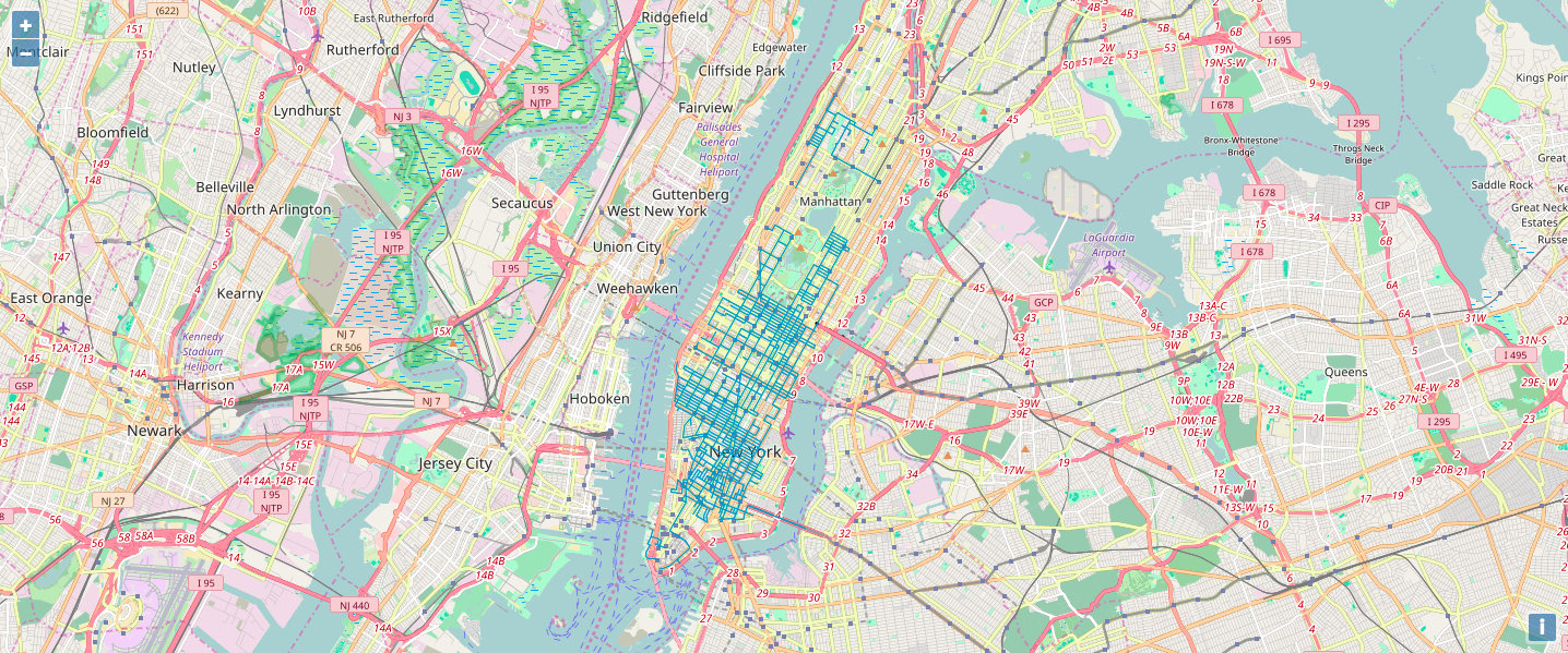
Real-time map dashboards with layer toggling, filters, and responsive design for smart decision-making.
Read More
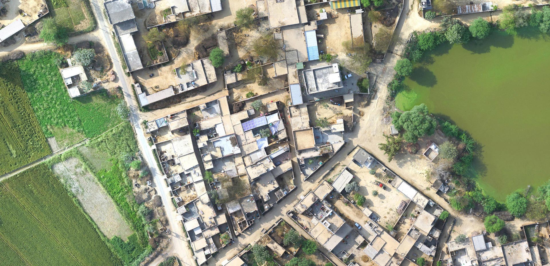
GIS-based parcel mapping with GPS surveys and ERP integration for digital property management.
Read More
Automated feature detection, land classification, and predictive models using geospatial AI.
Read More
Scenario-based urban growth models and zoning maps for sustainable spatial development.
Read More
Predict aquifer trends, recharge zones, and groundwater zoning with integrated GIS tools.
Read More
Hydrological modeling, floodplain risk analysis, and reservoir planning using GIS tools.
Read More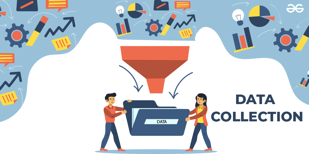
On-ground data capture with mobile apps, GPS tagging, and MIS integration for accuracy.
Read More
Tailored geospatial systems for specific departments—municipal, utility, or environmental.
Read More
SGT Solutions is a leading provider of Web GIS platforms and Smart Dashboards designed to enable real-time, spatially driven decisions. We specialize in GIS-based services like GeoProperty Mapping, Machine Learning integration, land use modeling, groundwater and surface water analysis, and field surveys.
Interactive Web GIS & Data Dashboards
GeoProperty Mapping for Smart Revenue
AI-Powered Geospatial Analysis
Groundwater & Surface Water Modelling
Field Data Collection with Mobile & GPS Tools
At SGT Solutions, we combine GIS technology, AI, and spatial intelligence to solve real-world problems for municipalities, utilities, and planners. Our focus is on digital transformation through scalable, data-driven platforms.
Real-time maps, analytics, and dashboards for smarter decision-making.
Parcel-level mapping with tax and ownership data integration.
Smart algorithms for land use, road detection, and anomaly prediction.
Zoning, LULC mapping, and urban growth forecasting for planners.
Water table mapping, recharge studies, and predictive analytics.
Watershed, floodplain, and runoff modelling using geospatial tools.
Mobile GPS apps for offline data collection, sync, and validation.
Role-based access control and encrypted data for sensitive GIS apps.
At SGT Solutions, we integrate powerful Web GIS, Machine Learning, and spatial modeling to support smart governance, utility management, and urban planning. Our solutions are scalable, secure, and tailored for actionable insights.
Interactive, real-time GIS dashboards with filters, layers, and role-based access.
Parcel-level mapping integrated with tax, ownership, and billing data for ULBs.
Get In Touch
Our team at SGT Solutions brings deep expertise in geospatial technology, software development, and smart spatial data solutions. We are committed to delivering innovation for better governance, infrastructure, and planning.

Lead Developer - Web GIS & Systems Architect

GIS Developer & Spatial Data Specialist

DEVELOPER

SGT Solutions has transformed the way we manage municipal data. Their GIS dashboards and analysis tools helped us improve efficiency and transparency across departments.
Commissioner, Thanjavur Municipality
Working with the SGT Solutions team was a pleasure. Their spatial expertise and customized tools were exactly what we needed for our smart city planning project.
Urban Planner, Chennai Smart City
Their Web GIS solutions are fast, intuitive, and user-friendly. The support team was always ready to help, making deployment and training seamless for our staff.
Data Analyst, Pudukkottai Corporation
Stay updated with the latest trends in geospatial technology, smart city development, and how GIS is transforming urban governance and infrastructure planning across India.

05 June 2025
5 CommentsLearn how municipalities and corporations are using spatial data to drive smarter decisions and better resource management across urban areas.
27 May 2025
2 CommentsDiscover how we build interactive maps with OpenLayers and GeoJSON, showcasing rivers, roads, canals, and more in our municipal GIS projects.

15 May 2025
4 CommentsExplore how spatial technology simplifies tax data visualization and enhances accuracy in property, water, UGD, and land revenue modules.