Precision Geospatial Data Collection Services
Our field survey teams deliver accurate, reliable ground data to support your GIS projects. Equipped with cutting-edge technology and rigorous quality control protocols, we capture spatial features, attributes, and measurements with sub-meter accuracy for urban planning, infrastructure mapping, and environmental monitoring applications.
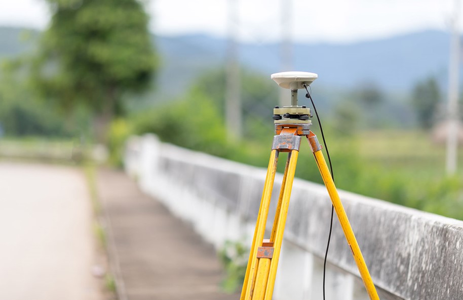
High-Accuracy Positioning
RTK GPS with centimeter-level precisionMobile Data Capture
Real-time GIS data collection with offline capabilityCore Field Capabilities
Asset Inventory Surveys
Comprehensive mapping of utilities, street furniture, and municipal infrastructure
Boundary Delineation
Precise property/parcel mapping with legal-grade GPS equipment
Topographic Surveys
Terrain modeling with elevation points, breaklines, and features
Condition Assessments
Detailed attribute collection including photos and defect grading
Our Survey Methodology
Workflow Design
Custom survey forms, QA protocols, and progress tracking systems
Data Collection
Trained teams equipped with ruggedized devices and calibrated equipment
Validation Checks
Automated and manual verification of positional accuracy and attribute completeness
GIS Integration
Topology checks, coordinate transformation, and database standardization
Final Outputs
Geodatabases, web maps, and customized reporting formats
Technical Specifications
Equipment Used
- RTK GNSS (2cm accuracy)
- Total Stations
- Mobile GIS Tablets
- 360° Camera Systems
Software Stack
- ArcGIS Field Maps
- QField
- Survey123
- AutoCAD Civil3D
Data Formats
- GeoJSON
- Shapefile
- File Geodatabase
- CAD formats
Accuracy Standards
Compliant with NSDI, IS 14927, and municipal surveying specifications
Survey Consultation
Discuss your field data collection requirements with our experts.
Plan Your Survey